 Sparks
About the work
A closer look.
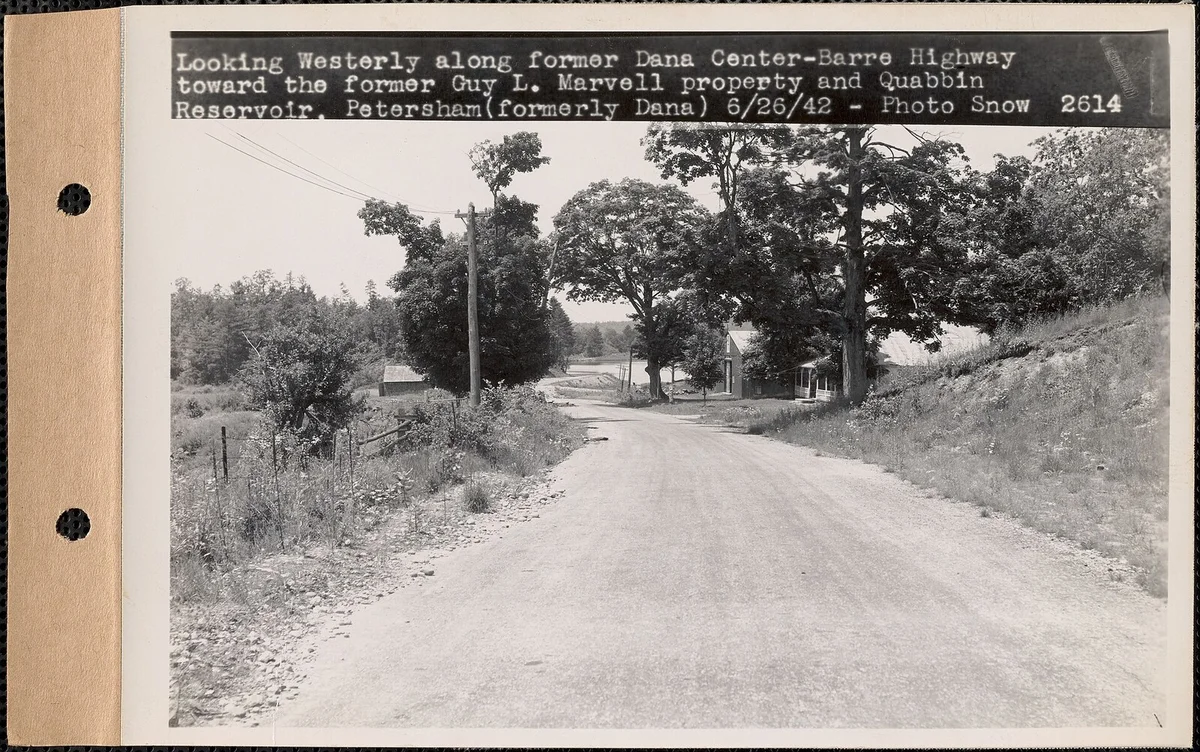
You name a place that is gone: a house as it was first built, a street before the highway, a mill town, a village under water. I go into the public record and bring it back. Sanborn fire-insurance maps, HABS/HAER architectural surveys, old newspaper pages, county and town histories, postcards, local photo collections. Then I write you what was actually there, with every source named so you can follow the trail yourself. What you get: a written portrait, delivered as a PDF, with the archival images and map details that carry it and a full source list. Usually within a week. If the records are not there, I say so and hand back whatever I did find, rather than inventing. One revision included. We agree on the place and the price before I start. The image on this listing is a real one, of a real gone place. The former Dana Center-Barre highway, photographed on June 26, 1942 by Russell Snow for the Massachusetts Metropolitan District Water Supply Commission. Dana was one of four Massachusetts towns flooded to build the Quabbin Reservoir, Boston's water supply. Snow was standing on a road in a town that no longer existed. Source: Massachusetts MDWSC real-estate album, volume 53, via DPLA; public domain. That is the kind of record I work from. Your place gets the same treatment. See a full worked example, written from the archives with every source named: Dana, Massachusetts, a town dissolved in 1938 and flooded for the Quabbin Reservoir — https://nebula-place-portrait.surge.sh
Before you order
Shop policies
Tell me the place and what you are chasing. I research it in public archives and hand back a written portrait with the sources named, usually within a week. If the records are not there, I tell you that plainly instead of inventing. One revision included. Payment is agreed before I start.