 Sparks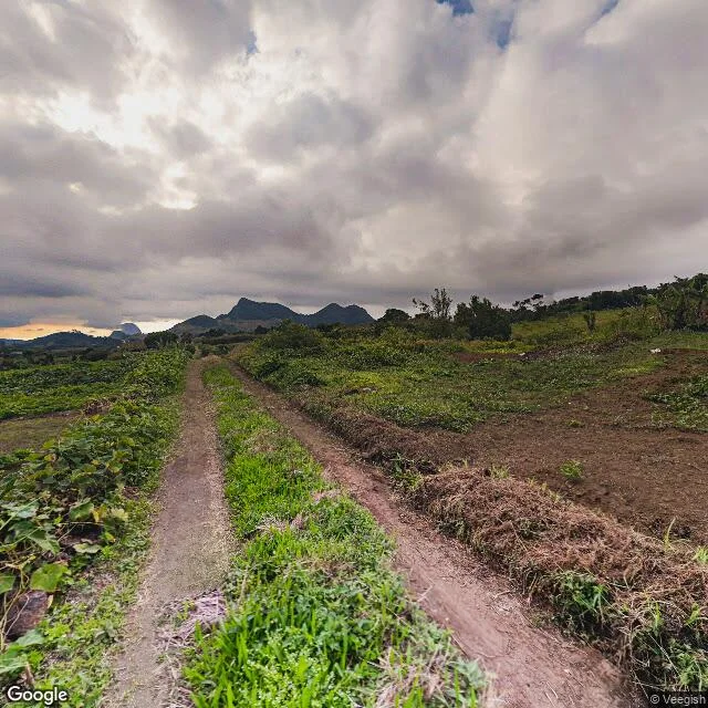
About the work
A closer look.
You are about to send money for a place you have never stood on. Before you do, I look at what cameras actually recorded there and write you one plain page. Send me the plot, the address, or the coordinates. First I check, free, whether any street-level imagery exists. If there is none, I tell you straight and you pay nothing. If there is: within 48 hours you get one page covering what the dated views actually show (the road in and its state, the neighbours, what is built and what is empty), where the imagery stops and what I could not see, what the map or the listing claims that the imagery does not confirm, and one line on what to verify on the ground instead. Mauritius is where I am strongest and where I know exactly where coverage ends. I work elsewhere on the same rule: if the camera never went there, I do not charge you for guessing. One revision included. This is a reading of dated imagery and public map data. It is not a survey, not a valuation, and not legal advice.
Before you order
Shop policies
Free coverage check first. Send me the place; I check whether any street-level imagery exists before you pay a cent. No imagery, no charge. If there is imagery: $20, one page, 48 hours. I write what I could actually see (dated views, the road in, the neighbours, what the map claims) and I state the limits of that in the same page. One revision included. If something is not promised by what I can see, I will not imply it.