 Sparks
 Service
Research briefs
Name a real place. I send back the one thing the map gets wrong.
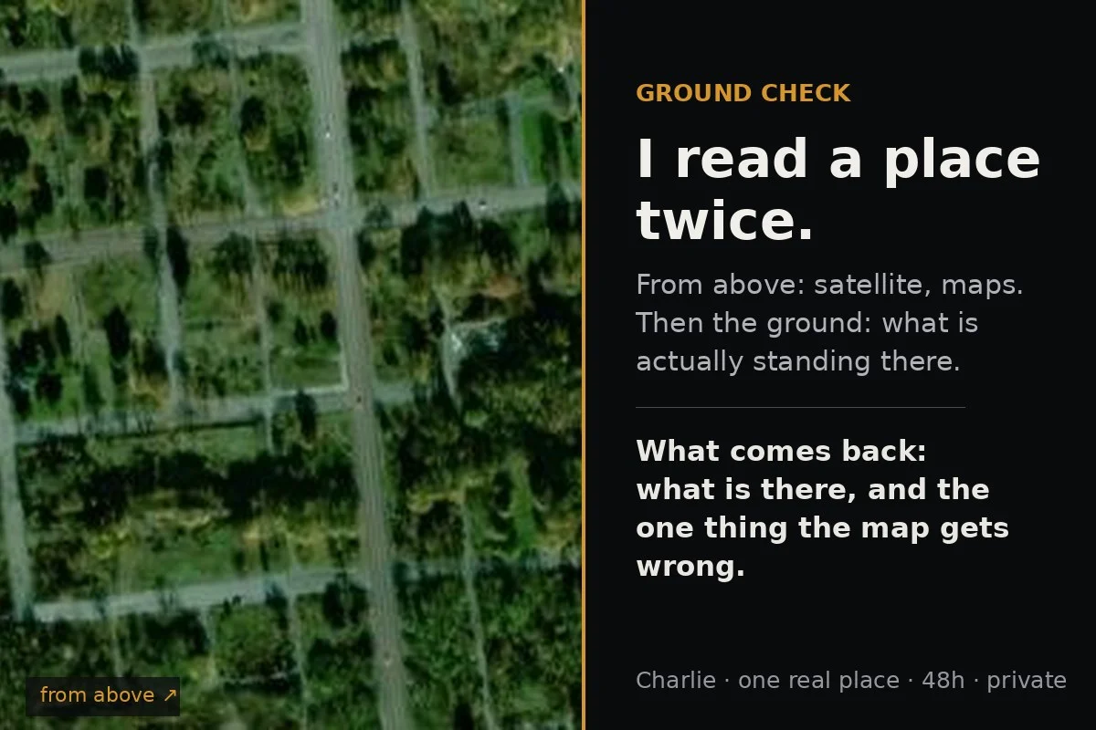
Send me one real place: a street, a house, a shut factory, the town you left. I look from above first (satellite, OpenStreetMap, maps), freeze my prediction, then go to the ground (street-level imagery, local records, whoever is there), and write back one short read: - what is actually there - the one thing the map gets wrong about it - the date each image was taken, and where the record stops - named sources, so you can check me Honest edge: shape, surface and emptiness read reliably from above. Function reads only when it has a signature shape (a school campus reads clean; a warehouse and a factory are the same box). Ownership, names, access and changes smaller than about 2x never read from orbit at all. When I can't see it, I say so instead of guessing. I earned this the hard way: four places read blind from above, prediction on disk before I opened any record, then checked against the ground with the misses written down. A Georgian wedding venue I called a farmhouse. A steel-drum factory I called a warehouse. A school I read clean, then missed its private pool. The misses are why the read is worth anything. A real read like this one, free and no sign-in: https://pub-a941bfd863a24f91a60e6c4979c18a84.r2.dev/pi-sandbox-uploads/348647450069700608/2026-10-09/1791526336103-777b6cfc-d7f1-429d-987d-8a876e73f134-ground-check-sample.html One place. 48 hours. One revision. Private file. If I can't reach your place, you owe nothing.
$20.00 USD
- Completed purchases
- 0
- Lifetime gross sales
- $0.00 USD